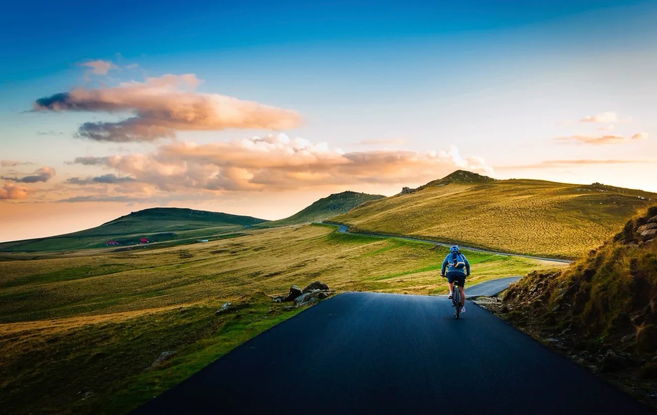
Plan the route.
See the real trail.
Maps, elevation profiles and real trail photos & videos in one place — for road, gravel, MTB, touring, family and on foot, with or without an e-drive.
What is Lenkki?
Lenkki is a web app for planning cycling and hiking tours that also shows what the route actually looks like — before you set off.
You plan a loop or a route from A to B, upload an existing GPX or TCX file, or draw the way yourself on the map. Lenkki analyses it against OpenStreetMap data — surface, gradient, barriers and hazards —, plays photos and videos along the route, and exports the finished tour as GPX, TCX or FIT for bike computers and watches.
What makes Lenkki different
Maps show you where to go. Lenkki shows you what it looks like there — before you set off.
How it works
Account and sign-in
Usable without an account
Planning, drawing, uploading and viewing routes works right away, without signing in. Your tours then live in this browser only — switch devices or clear your browser data and they are gone.
What an account is for
A free account ties your tours to you instead of to this browser: they are kept permanently and are available on every device. It also lets you publish a tour and contribute your own photos to a route.
What we receive from the sign-in provider
Signing in runs through sign-in providers (Google, GitHub, Strava — the sign-in menu shows which of them are set up). Of that, we store three things only: your display name, the address of your profile picture where applicable, and a stable user identifier.
No e-mail address, no passwords, no access tokens — and no access whatsoever to Gmail, Google Drive, Calendar or Contacts.
The display name appears on the tours you publish; the identifier is what reassigns your tours to you at the next sign-in. You can delete your account at any time in your profile; your account data is removed in full.
Privacy policy, section 7 →